Project Description
Earth Observation (EO) satellite missions continuously provide very high resolution satellite data, which combined with heterogeneous sources and advanced Artificial Intelligence (AI) solutions that improve information quality, enable new capabilities for monitoring human activity and the environment in support of sustainable development. But this potential will only come true if exploited correctly. To meet such a challenge, a strategy combining efficient algorithms and the use of new technologies, such as clouds and Big Data, is the key to success.
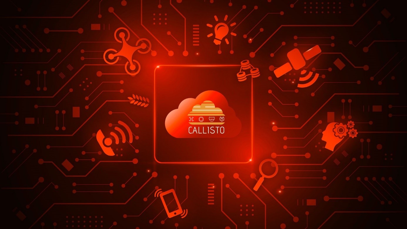
To respond to this challenge, the CALLISTO platform is designed with cutting-edge technologies and facilities allowing secured and high-performance deployment of services on the cloud, with the ability to address the huge volume of data produced by EO satellite missions combined with data from additional heterogeneous data sources to make them less complex to analyse and more easily accessible.

Figure: CALLISTO platform overview
EO data from ONDA DIAS are combined with data from heterogeneous distributed sources (including crowdsourced data, videos from Unmanned Aerial Vehicles (UAVs) and in-situ measurements) through machine learning and data fusion technologies. The outcomes are semantically enriched and served to humans in interactive interfaces, mobile and Mixed Reality applications, creating a novel immersive environment for the Copernicus market. Four pilot projects are planned as first users of the CALLISTO platform to provide very advanced use cases linked to several EO vertical markets: (1) EU’s Common Agricultural Policy (CAP) monitoring (2) water quality assessment, (3) sensor journalism and (4) land border change detection, taking into account established work processes in these domains.
CALLISTO will be built as a unique platform to host the four pilots, relying on the ONDA DIAS cloud provider. The platform is designed and deployed thanks to CS GROUP’s SafeScale Infrastructure-as-code tool. SafeScale is an open-source multi-cloud secured management platform battle proven on various successful European projects. It will ensure the reversibility of the platform deployment.
Safescale enables to create and manage secured-by-design infrastructures and platforms on any Cloud provider with the same command lines. The services exposed through the CALLISTO platform will be secured thanks to build-in API gateway, Identification & Access Management, communication encryption, Logs management etc.
Moreover, the CALLISTO platform relies on a micro-services architecture that ensures a high level of portability, flexibility and scalability.
The platform will grant access to the ONDA data catalog: Copernicus, UAVs, social media, Galileo and additional sensor information. It will be composed of some basic services including infrastructure monitoring tools, security tools and a map displayer. The platform will also have two innovative ways to manipulate the EO environment with a Mixed Reality interface and a mobile application. At last, an overflow to High-Performance Computing (HPC) will provide to CALLISTO partners who develop their service with higher calculation power in order to perform complex calculations and brings new values to EO data.
Project Details
- DateNovember 29, 2021
- WriterYasmine Boulfani, CS Group
- 4
