Project Description
The CALLISTO project embarked on multiple Pilot Use Cases (PUCs), each offering profound insights, community impact, and valuable lessons.
Pilot Use Case 1
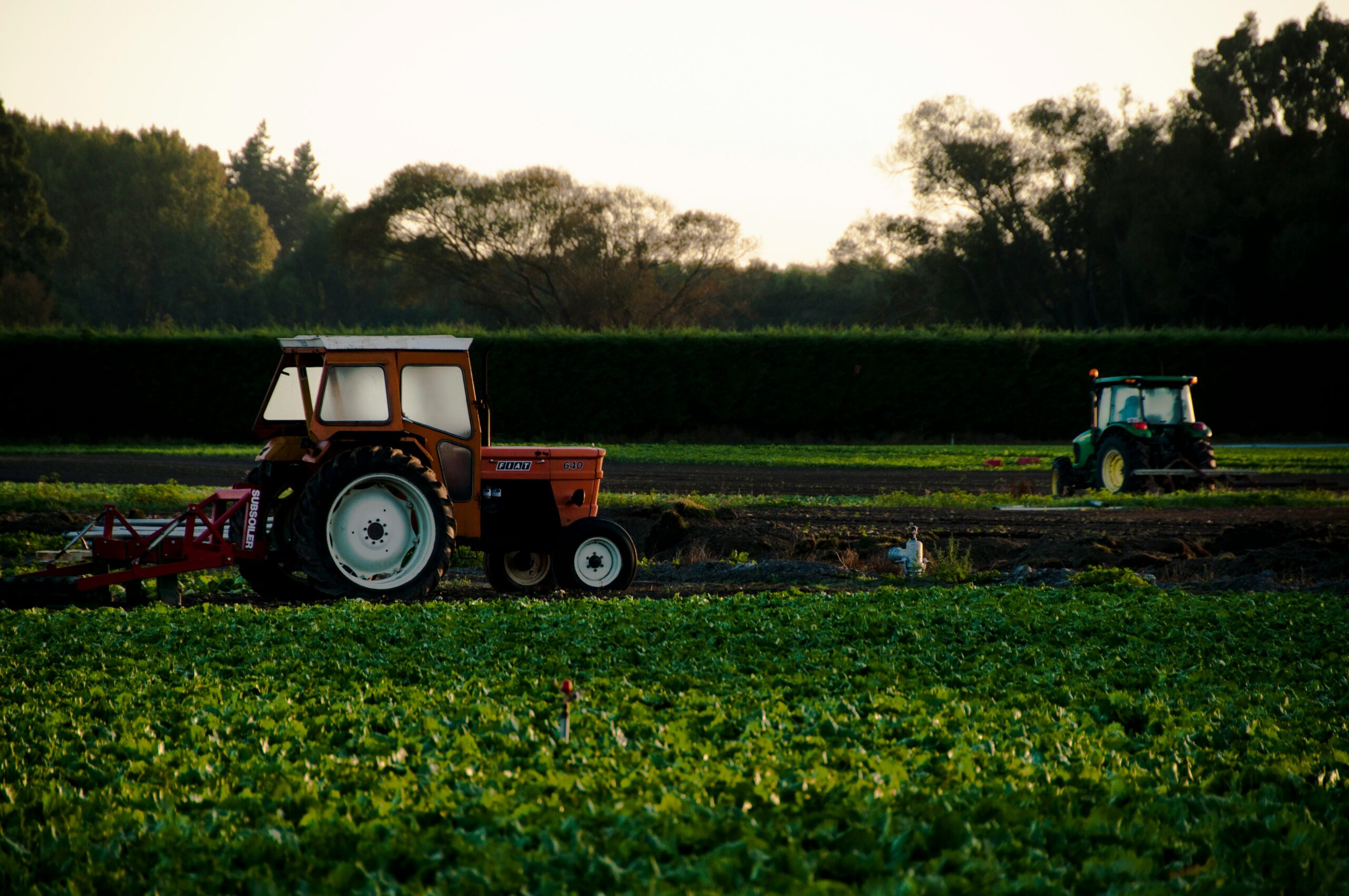
In PUC 1, Agriculture Policy Monitoring showcased how a blend of Artificial Intelligence and Space-2-Ground data revolutionized exhaustive monitoring of the EU’s Agricultural Policy. The tailored solution catered to agencies’ needs, deploying Deep Learning models, crowdsourced data collection, and exploring UAVs for real-time imagery. This modernization enhanced agencies’ operational frameworks, fostering efficient monitoring, evidence-based decisions, transparency, and sustainable agricultural practices. Crucially, it illuminated the multidimensional nature of data availability, emphasizing the necessity for diverse data sources and fusion techniques to facilitate transparent decision-making.
Pilot Use Case 2
PUC 2, Water Quality Assessment, revealed the potential of continuous algae monitoring via remote sensing and the use of social media for pollution event detection. The project stressed the importance of Earth Observation (EO) data in water management, emphasizing clear data definitions and cross-domain communication. This initiative provided valuable insights into algae dynamics and the significance of accessible water quality data for assessing algae growth.

Pilot Use Case 3
Satellite Journalism, PUC 3, focused on utilizing satellite and sensor data for air quality journalism. Tools developed aided journalists in analyzing air quality data and monitoring social media content. Engaging with media professionals highlighted the value of satellite data but also underscored the complexities in its accessibility. However, inspired by the project, several journalists invested in improving their skills, leading to independent investigative reports. The project emphasized the need to simplify technical requirements to bridge the gap for broader journalist access.
Pilot Use Case 4
PUC 4, Border Surveillance, introduced an innovative change detection algorithm using Sentinel 2 satellite images. This algorithm provided accurate land change detection near the EU border, issuing alerts to end users. The project showcased the power of Copernicus Sentinel and Contributing missions for border surveillance, emphasizing the fusion of human expertise and automated systems. The precision of the change detection algorithm and the integration of UAV data significantly enhanced users’ monitoring and analytical capabilities, reaffirming the value of diverse data sources in security contexts.

In summary, the CALLISTO project’s PUCs demonstrated the transformative potential of AI, satellite data, and interdisciplinary collaboration. They emphasized the need for diverse data sources, effective communication across domains, and the value of integrating human expertise with automation. These initiatives not only yielded valuable insights but also underscored the importance of accessible, understandable data to drive impactful decisions across various sectors.
Project Details
- DateJanuary, 2024
- WriterSerco
- 1
